


Hiking South of Hot Springs, North Carolina (NC 209)
Hiking South of Hot Springs, North Carolina (NC209)
NOTE: Conditions and trail maintenance may change especially on the more remote trails. For the most current information, check with Bluff Mountain Outfitters at 828 622-7162 (located at 152 Bridge Street in Hot Springs) or http://bluffmountain.com
Disclaimer: Madison County TDA assumes no responsibility for contents of this information because roads and trails may change due to weather or lack of maintenance. Please note that many of these trails and roads may not be marked with signs. Mileages are approximate.
Buckeye Ridge Loop Trail
5.4 miles, moderate. Accessible from Max Patch loop trailhead. See directions below to get to Max Patch.
Max Patch Loop Trails
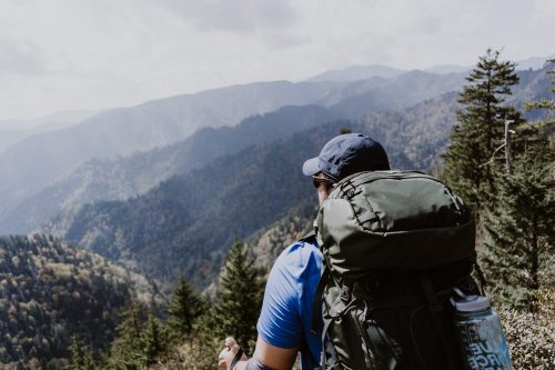
1.4 miles & 2.4 miles, easy. A favorite trail with hikers of all degrees of endurance, this is a gentle climb across the southernmost bald on the Appalachian Trail to its grassy summit at 4,629 feet. During the warmer seasons, the trail abounds with wildflowers. This relatively short hike can be extended by continuing either north or south on the Appalachian Trail.
Directions: From Hot Springs, travel south on NC 209 for 7 miles. Turn right onto NC 1175 and continue for 5 miles. Turn onto NC 1182 (Max Patch Road) and travel 3 miles to the parking area at the foot of the bald. Elevation: 4,629 feet. Connector trail from parking lot to the AT approximately .5 mile.
Van Cliff Loop Trail
2.6 miles, very difficult. A steep, difficult hike along streams and ridge tops where the forest has reclaimed old farmland. The trail leaves the south end of the Rocky Bluff Campground, crosses NC 209, and ascends Taylor Hollow Creek. Whether black clouds ominously color the surrounding mountains or a clear blue sky, this trail affords breathtaking panoramic views of the Black, Bald, Balsam, and Great Smoky Mountains.