LEMON GAP (NC 1182/TN 107P) TO GARENFLO GAP (TOP OF GORENFLO GAP ROAD) — 7.4 MILES
Somewhat remote, although beautiful once you arrive at the parking
For parking access, you have to travel on almost 4 miles more of gravel road beyond Max Patch
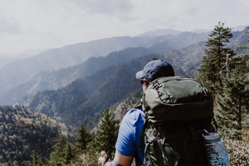
Nice hike south to Max Patch with little elevation change
The hike north is the easiest way to Bluff Mountain which offers views when leaves are gone
GARENFLO GAP (TOP OF GORENFLO GAP ROAD) TO TOWN OF HOT SPRINGS — 6.6 MILES
Not too far of a drive from Hot Springs
Only 1.6 miles off the main highway
Hike south is somewhat strenuous but seeing the view from Bluff Mountain is worth it when leaves are gone
Hike north to Hot Springs is quite scenic as you come down into the town and are overlooking the French Broad River
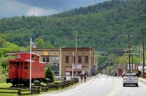
TOWN OF HOT SPRINGS TO TANYARD GAP (US 25/70 BY MILL RIDGE) — 5.9 MILES
Easiest access in the whole county
Trail runs right through the main street
Restaurants and cabins are all right there–plus a hot mineral springs spa
Nice hike north goes to Lover’s Leap Rock with a spectacular view of the French Broad River and the town
TANYARD GAP (US 25/70 BY MILL RIDGE) TO RICH MOUNTAIN FIRE TOWER — 2.4 MILES
Parking is a short way off the main highway
Nice hike either direction
Rich Mountain Fire Tower is just 2.4 miles from here for a panoramic view (when open)
Hiking south into Hot Springs is mostly downhill and the first mile is an old road
Hiking north on the portion from Hurricane Gap toward Allen Gap is one of the prettiest stretches in the county, walking along the top of a ridge past large hardwoods without a strenuous path
ALLEN GAP (NC 208/TN 70) TO DEVILS FORK GAP (NC 212) — 20.2 MILES
Limited parking and somewhat difficult to pull out from parking onto busy highway
Hiking north has some interesting sites such as Viking Mountain (Camp Creek Bald), Shelton Graves and White Rock Cliffs
DEVILS FORK GAP (NC 212/TN 352) TO SAMS GAP (US 23A) — 8.2 MILES
Quite far to drive for parking access
Hiking south will get you to White Rock Cliffs and Viking Mountain (Camp Creek Bald)
SAMS GAP (US 23A) TO SPIVEY GAP(US 19W) — 13.6 MILES
Closest to I-26 for Mars Hill and drive to Tennessee
Good parking facilities
Hiking south takes you to High Rock in just 1 mile for a good view
Hiking north leads to spectacular 360°views from Big Bald Mountain