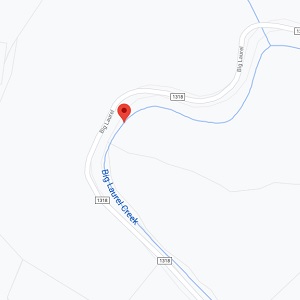


Big Laurel Creek
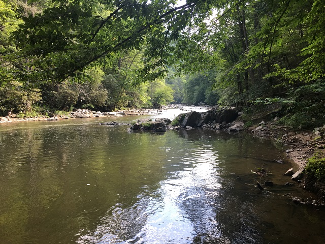
Big Laurel Creek is a hatchery-supported trout stream that begins in the northeast corner of Madison County and flows down a steep and winding mountain valley for approximately 20 miles to its convergence with Laurel River. Its headwaters are comprised of Puncheon Fork Branch and Laurel Valley Branch. These two streams begin on Bald Mountain and converge at the Ebbs Chapel Community Center and become Big Laurel Creek.
A number of small branches feed into Big Laurel Creek and add volume to its flow and also provide spawning places for both hatchery-bred trout and native stream trout to lay their eggs in the spring and also serve as nursery streams for the fingerling trout that are hatched in them. As these fingerling trout grow they instinctively move down into Big Laurel Creek and become a part of the trout population there. Big Laurel is approximately 12-15 feet wide at Exit 3 on I 26 and grows to 50 to 60 feet wide at its confluence with Laurel River.
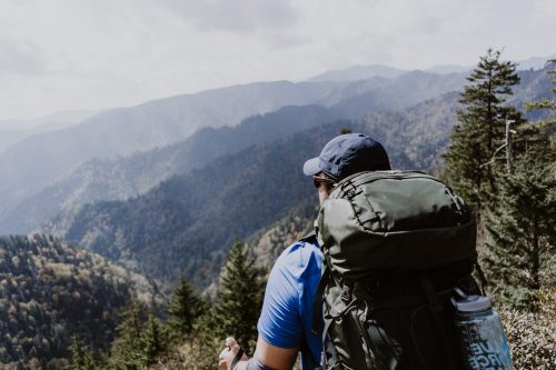
Best stretches of water are between Lewis Branch and Wilde’s Branch and between Wolf Branch and Foster’s Creek. There are places where you can do bank fishing as well as wading.
Tip: Good choice of artificial flies is a generic wet fly with brown tail, olive body, brown hackle, and white wings tied at 90 degrees to the body like a spent dry fly that as fallen into the water.
Directions
Driving From Asheville: Head north on I-26 and take exit 3. This exit ramp crosses the headwaters of Big Laurel Creek and intersects with US Highway 23. Turn left onto US Highway 23 for approximately 3 tenths of a mile and turn left again onto Big Laurel Road. Big Laurel Road parallels Big Laurel Creek for approximately 9 miles, there are ample road pull-offs to access the creek. After 9 miles the road leaves the stream and goes on to intersect with NC highway 208 at the community of Belva. Big Laurel flows through a gorge for about 4 miles before emptying into Laurel River about one mile west of Belva.